
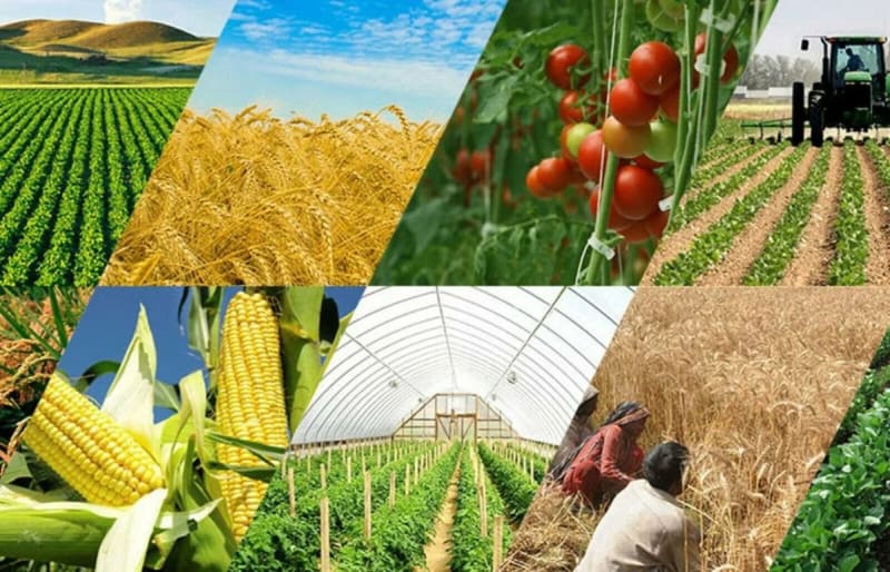
The Rain-Soaked Load That Nobody Could Explain
A grain trading business moving maize from Trans Nzoia's farms toward the Malaba and Lwakhakha border points for onward sale into Uganda had a truck arrive at its destination six hours behind schedule, its tarpaulin cover loosened enough that a portion of the load had been exposed to rain overnight. The trader had no way to determine where the delay happened or when the tarpaulin came loose, because the only account available was the driver's own version of events after the fact. The buyer on the Ugandan side rejected part of the shipment over moisture damage, and the trader absorbed the loss without any way to establish whether the damage happened at a border queue, an overnight stop, or somewhere else entirely. For a business trading on thin margins per bag, a single unexplained night on the road turned a profitable run into a loss.
Where Kitale's Agricultural Transport Risk Concentrates
Trans Nzoia's position as one of Kenya's largest maize-producing regions, sitting close to two border crossings into Uganda, creates transport risks distinct from routes further inland.
1. Cross-border grain trading routes: trucks moving maize and other produce toward Malaba and Lwakhakha for sale into Uganda face border delays and paperwork stops that a trader has no independent record of.
2. Seasonal harvest-time congestion: during peak harvest months, transport volume spikes sharply, and overloaded, unmonitored routes become harder for a single trader to track manually.
3. Overnight roadside stops: long routes from outlying farms to collection points or the border sometimes require overnight stops, a window with no oversight where cargo tampering or exposure can go unnoticed until delivery.
4. Mixed produce and input transport: the same vehicles often carry maize outbound and fertiliser or farm inputs inbound, each leg with different cargo-handling risks that a generic tracking approach does not distinguish.
5. Fuel costs on long rural-to-border hauls: the distance between Trans Nzoia's farming areas and the border crossings makes fuel a major cost line, and theft on quiet rural stretches is difficult to catch without consumption data.
Why a Driver's Account Cannot Settle a Damage Dispute
When cargo arrives damaged or a delivery runs hours late, the trader's only source of information is typically the driver's own explanation, given after the fact and impossible to independently verify. A driver who stopped overnight in an unplanned location, took longer than necessary at a border crossing for reasons unrelated to official processing, or simply failed to secure a tarpaulin properly has little incentive to volunteer that information when a load turns up damaged. This leaves traders unable to distinguish a genuine, unavoidable delay from a preventable one, and unable to hold any specific driver or route decision accountable for a loss. Without a timestamped, independent record, every disputed load becomes a negotiation based on trust rather than evidence, and trust does not recover a rain-damaged bag of maize.
The Solution: GPS Tracking and Fuel Monitoring on Venus
Real-time GPS tracking combined with fuel monitoring on the Venus platform gives Trans Nzoia's grain traders and agricultural transporters an independent record of exactly what happened on every run.
1. Real-Time Route and Stop Tracking
Live position tracking shows exactly where a vehicle is and how long it has stopped at any point along the route, distinguishing a genuine border queue from an unplanned overnight stop.
2. Geofence Alerts at Border Crossings
A geofence set around the Malaba or Lwakhakha crossing points records how long a vehicle actually spent there, giving traders a verifiable number rather than a driver's estimate.
3. Route History for Damage and Delay Disputes
Complete, timestamped route history lets a trader reconstruct exactly what happened on a run that arrived late or damaged, turning a dispute with a buyer into a fact-based conversation.
4. Fuel Consumption Monitoring on Rural Routes
Comparing fuel consumption against actual distance on long rural-to-border hauls surfaces siphoning that would otherwise go unnoticed on routes with little other traffic to observe a theft.
5. Seasonal Fleet Scaling on One Platform
Traders who add vehicles during peak harvest season can bring new units onto Venus quickly, maintaining the same visibility across a larger fleet during the busiest months.
What This Looks Like on a Kitale-Border Run
A Trans Nzoia grain trader running four trucks between farm collection points and the Malaba border fits GPS trackers linked to Venus across the fleet. On one run during peak harvest, a truck records a five-hour stop overnight partway along the route, well outside any planned rest point. The trader calls the driver immediately upon seeing the alert, and it turns out to be a genuine mechanical issue rather than negligence, fully documented with timestamps for both the stop and the eventual repair. On a separate run, a truck spends what turns out to be verifiably ninety minutes at the border crossing itself, a number the trader can now cite directly to a buyer questioning a delayed delivery, instead of relying on the driver's word alone.
Frequently Asked Questions
1. Does this help specifically with cross-border delays into Uganda?
Yes. A geofence placed around a specific border crossing point gives traders an exact, verifiable record of how long a vehicle actually spent there, separate from time spent elsewhere on the route.
2. Can this work during peak harvest season when I add extra vehicles?
Yes. Additional vehicles can be added to Venus quickly, so seasonal fleet expansion during harvest does not mean losing visibility on the vehicles that matter most.
3. How does this help settle a dispute over damaged cargo?
Timestamped route history shows exactly where and when a vehicle stopped, which helps establish whether damage happened during a documented delay or elsewhere, giving traders a factual basis to negotiate with buyers.
4. Will this help reduce fuel theft on rural routes?
Comparing fuel consumption against actual distance travelled surfaces inconsistencies that are difficult to catch through fuel receipts alone, particularly on long, quiet rural stretches.
5. How do I get started with GPS tracking for my Trans Nzoia transport fleet?
Call Trackalways Africa on +254 116 257285 or visit trackalwaysafrica.com to discuss a setup suited to your routes and border crossings.
Protect Every Load Before It Reaches the Border
An unexplained delay or a damaged load should not be the cost of doing business in Trans Nzoia. With GPS tracking and fuel monitoring on Venus, Kitale's agricultural transporters get the record their margins depend on. Call +254 116 257285 or visit trackalwaysafrica.com to secure your fleet.